 by IntelliMass
Industry & energy · Electrical utilities
Know the condition of every right-of-way, access road and remote station you own.
Corridor programs are among your largest maintenance lines, and the evidence lives in scattered field notes. A vehicle drives the line; the drive becomes a permanent, dated record you can review from your desk.
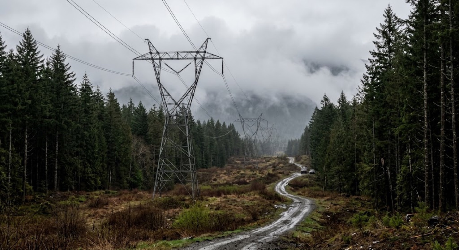
What the record gives you.
Walk the entire line from your desk. Tower condition and ground condition at every point, not a sample at intervals.
The same coordinates before and after the cycle. Brushing, grading, culvert clearing and fence repair verified independently of the invoice.
Know the road is passable before the crew leaves, not after the truck turns around.
Encroachment, washouts, erosion and fence damage surfaced on your interval, not only at the annual inspection.
Timestamped, geolocated visual evidence your vegetation and inspection files can hold for a regulator, auditor or underwriter.
Visible encroaching growth is flagged for follow-up. Clearance measurement stays with your aerial and LiDAR programs, that's a claim we don't make.
In the field.
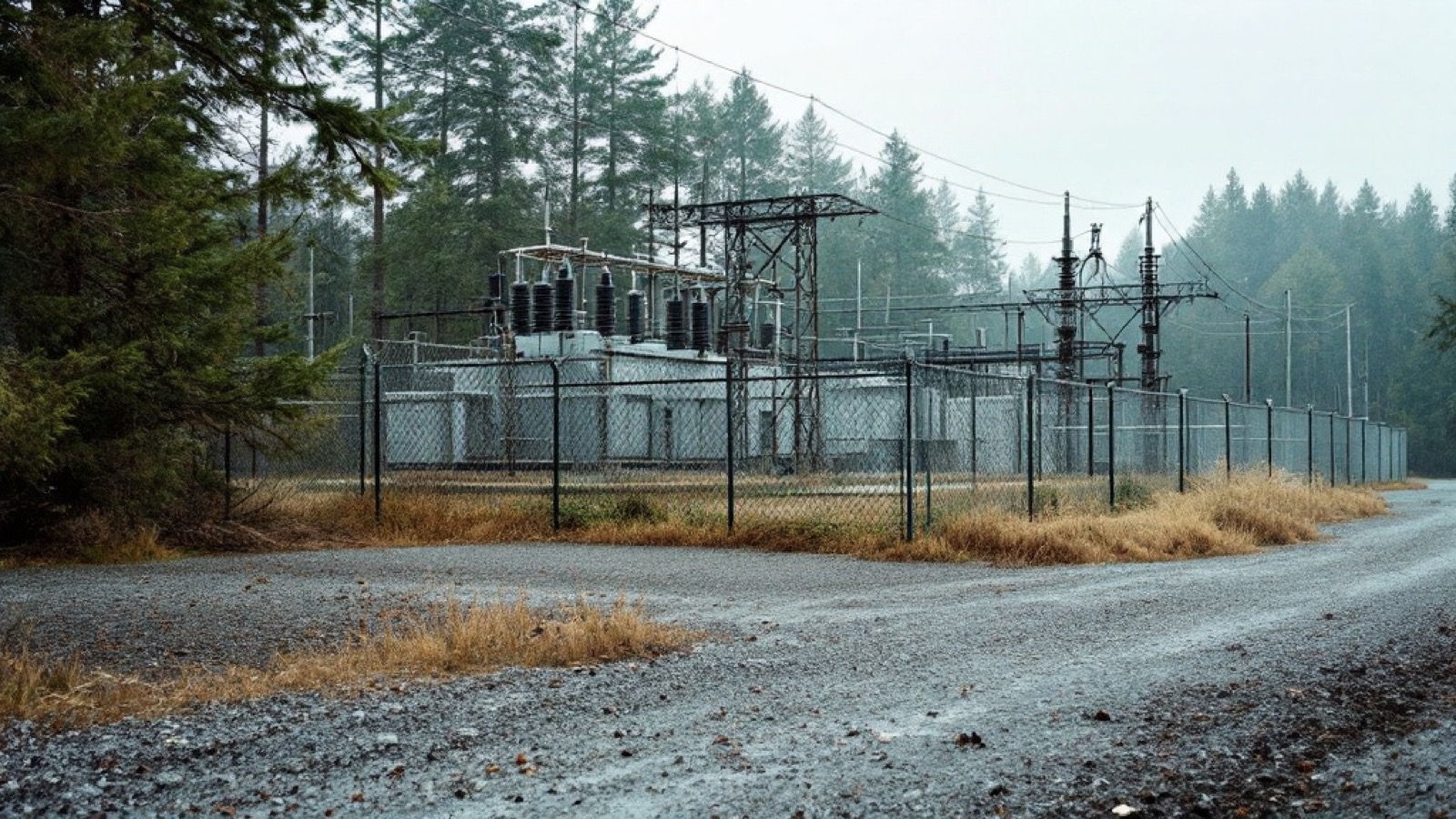
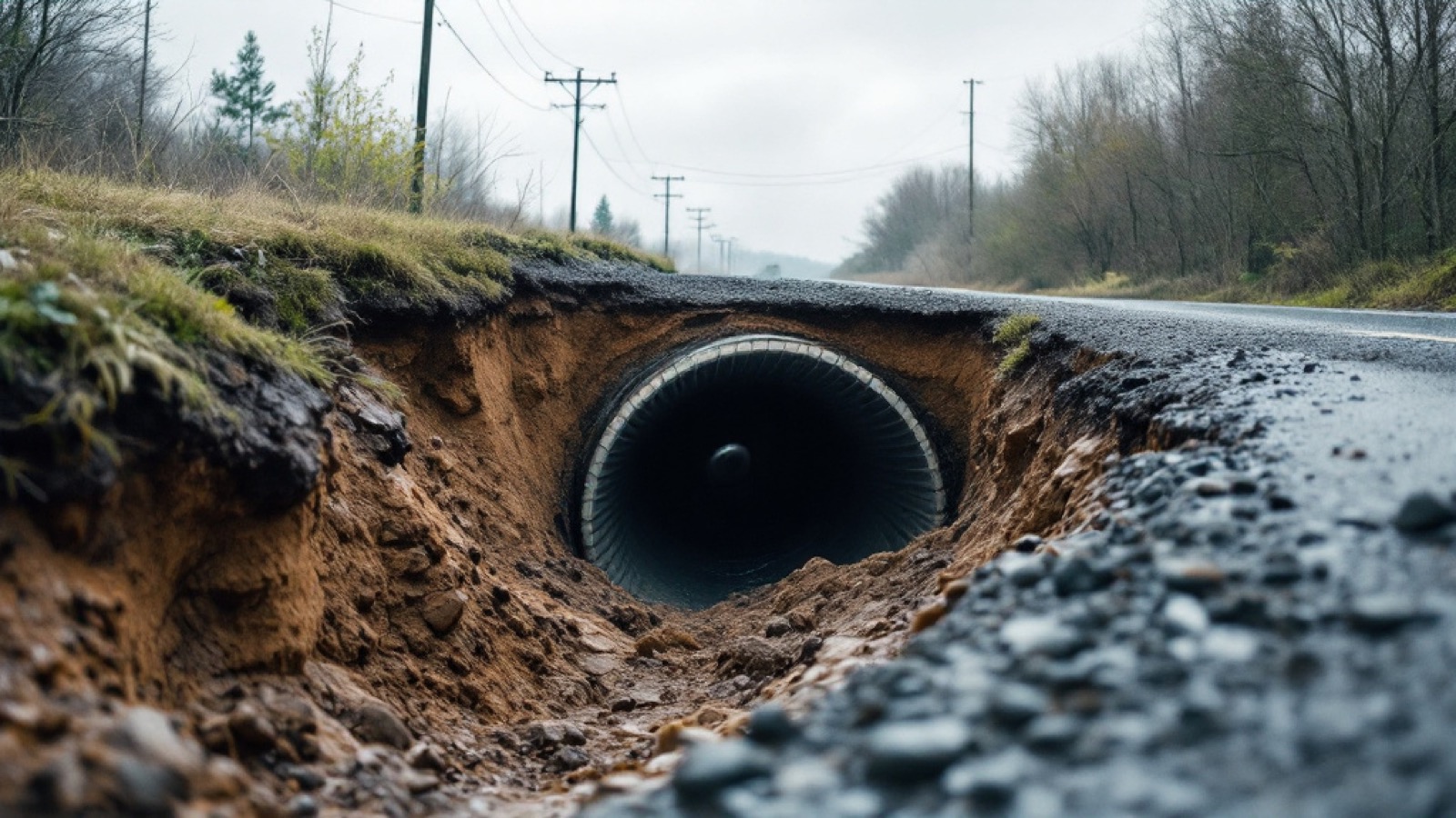
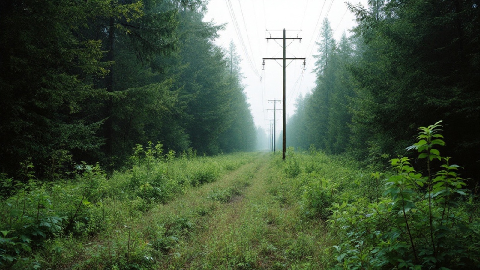
The same record, across the roadside assets you're responsible for, not just the road surface.
Your record, in the driver’s own words.
The driver taps once and talks. It is the same device that is recording the video — the Dashcam unit in the kit — so the audio and the footage are one capture. The voice note is saved with the moment it was spoken — the point on the route, the time, the speed, the heading — then transcribed, titled and filed into the record at the place it happened. A form field gives you a category. A voice gives you what the person actually saw.
“There’s a tree leaning toward the line on the right, maybe thirty metres in.”
“Access road’s washed out at the creek crossing — wouldn’t get a bucket truck through here today.”
“Looks like new growth coming up under the span here, but I can’t tell how close it is from the road.”
“Gate at the north entrance is open again. Third time this month.”
Two of those aren’t certain, and that is deliberate. “I’m not sure” is a legitimate entry. The record keeps the doubt exactly as it was spoken rather than rounding it into a category — and the next pass over that spot is what settles it.
Tap to talk on the Dashcam device — the same unit recording the video. Hands stay on the wheel, and the note is attached to the metre it was spoken at rather than typed up from memory hours later. A photo is tapped the same way.
Every voice note becomes searchable text automatically, so a season of drives is something you can read through and search, not a pile of audio somebody has to sit and listen to.
The transcript is read for what it describes — rock, water, debris, wildlife, a bridge, a washout — and dropped on the map as a titled field report you can filter and pull into a report.
The Dashcam device records the same way on the windshield mount or in somebody’s hand. A culvert you stop and walk down to, a slide you get out to look at, a site you cross on foot — spoken, located and filed into the record exactly like the kilometre you drove past.
The people driving those routes already know things your record doesn’t: which culvert backs up, what that slope did last spring, which stretch never holds after a grade. That knowledge normally lives in somebody’s head and goes with them when they move on. Spoken into the record, it stays with the asset.
Voice capture, automatic transcription and hazard tagging run in the Scout app and platform today. The four notes above are written as examples — the wording is ours, the format is what a real annotation looks like.
Two ways to buy.
We capture it
A done-for-you asset corridor report on your interval — monthly, quarterly, or per project. No subscription.
Your fleet captures it
A capture kit in your own vehicles turns drives already happening into your records — unlimited roads on one device.
It sits under one manager's signing authority, no procurement cycle. If you already have vehicles on those routes, the kit is cheaper; if you don't, don't build a program, buy the record.
What we don't claim.
Tell us which corridor you'd document first.
The earlier the record starts, the more it's worth.