 by IntelliMass
Industry & energy · Mining & mineral extraction
Every haul road, perimeter and access route, on one reviewable record.
You already inspect daily. Nothing keeps those inspections as something you can compare month over month. A vehicle drives the site; the drive becomes the comparable record layer.
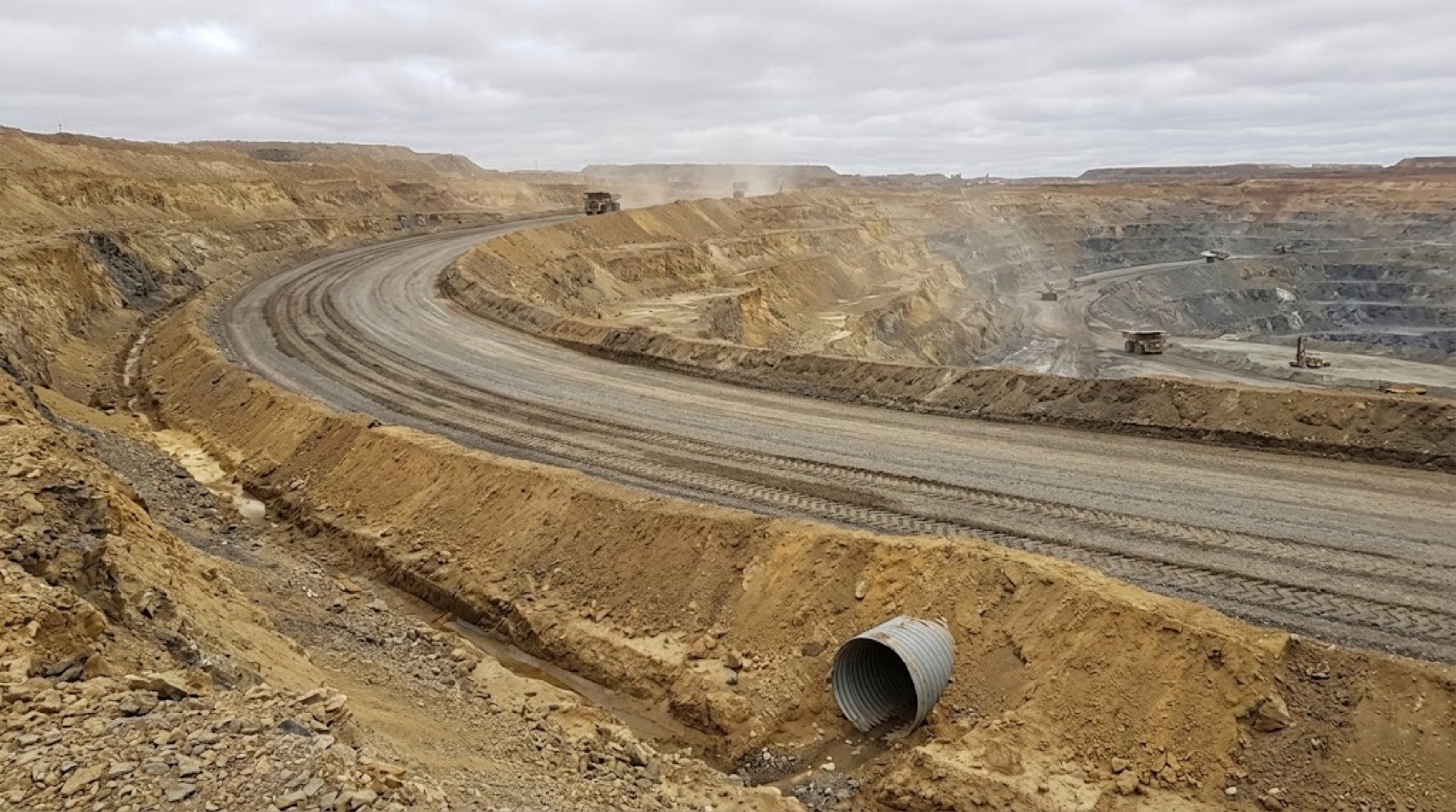
What the record gives you.
Surface, drainage, windrows and spillage, the same segment across dates, as it changes over days, weeks and months.
Long boundaries and multiple properties, covered on drives already happening.
Access roads, culverts, drains and visible erosion, on your weekly cadence.
Grading and road maintenance confirmed against the record, not the invoice.
A camera on a post sees one angle forever. A vehicle gets close to every section, at angles a fixed camera can't. Structural and geotechnical assessment stays with your engineers.
In the field.
The same record, across the roadside assets you're responsible for, not just the road surface.
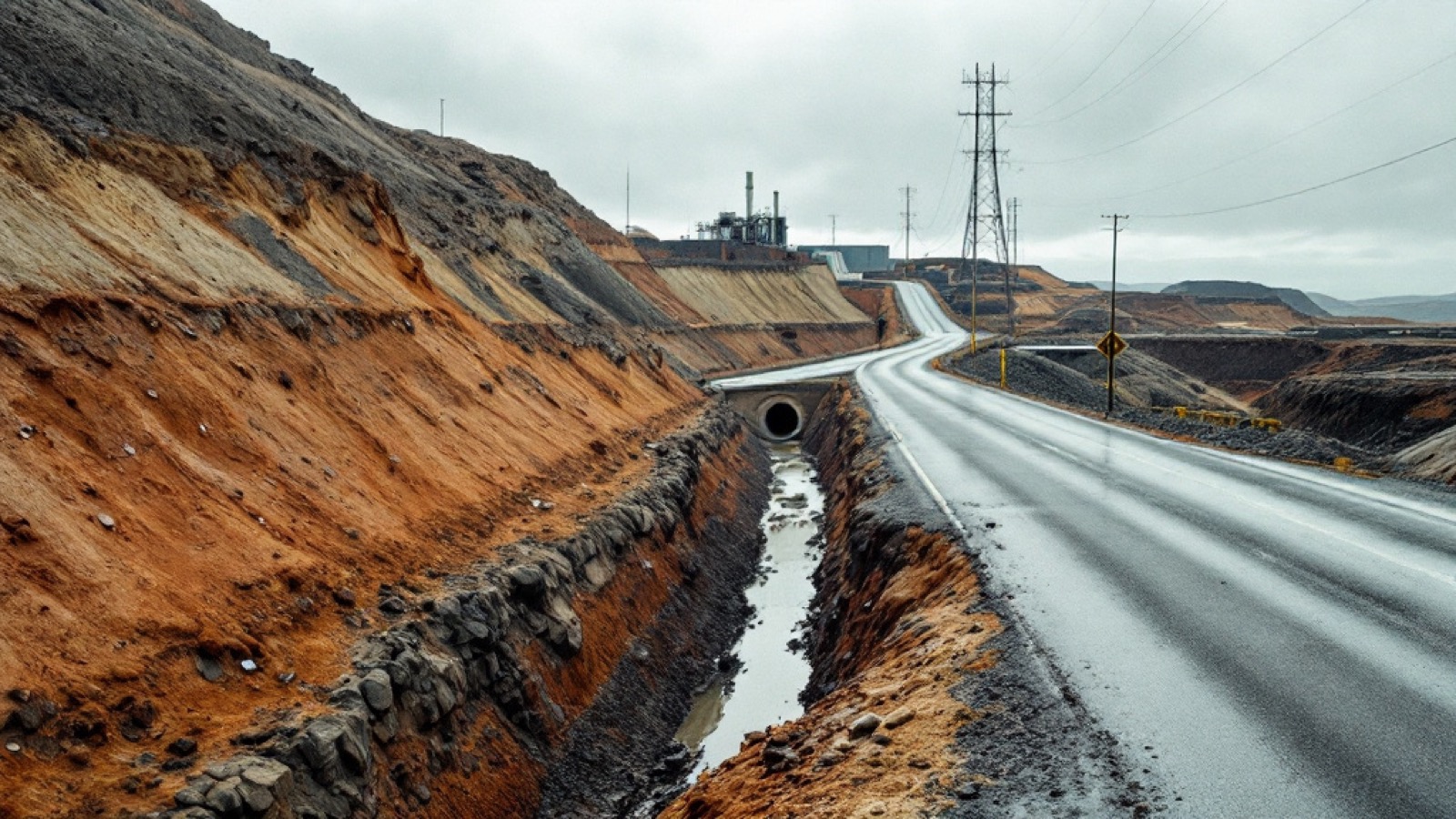
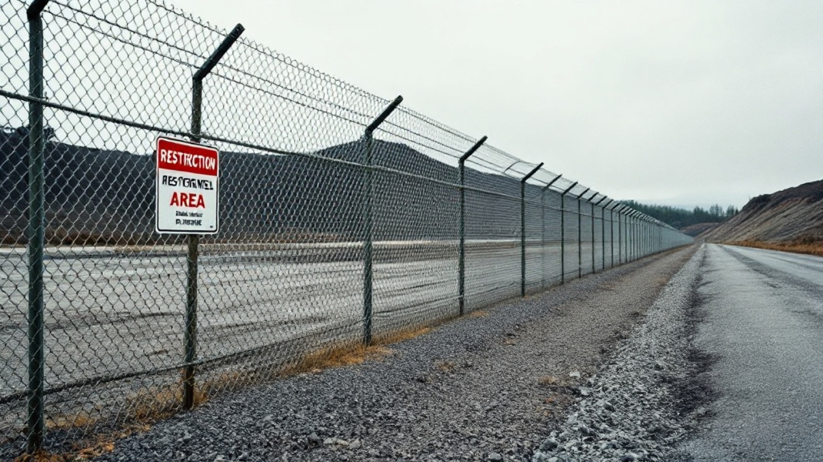
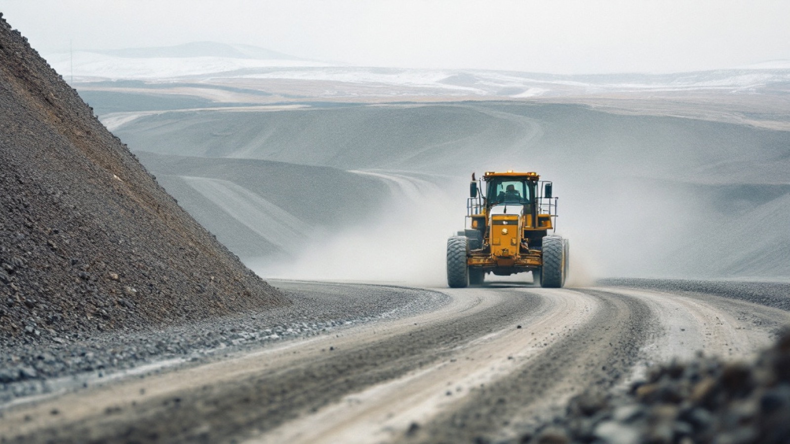
Your record, in the driver’s own words.
The driver taps once and talks. It is the same device that is recording the video — the Dashcam unit in the kit — so the audio and the footage are one capture. The voice note is saved with the moment it was spoken — the point on the route, the time, the speed, the heading — then transcribed, titled and filed into the record at the place it happened. A form field gives you a category. A voice gives you what the person actually saw.
“There’s a deep rut forming on the haul road here, couple hundred metres past the pit gate.”
“Water’s pooling at the bottom of this grade again — same spot as last month.”
“Looks like some slumping on the bench above the road on the right. Hard to tell from down here.”
“Somebody’s dumped a load of material just off the side. Not sure whose it is.”
Two of those aren’t certain, and that is deliberate. “I’m not sure” is a legitimate entry. The record keeps the doubt exactly as it was spoken rather than rounding it into a category — and the next pass over that spot is what settles it.
Tap to talk on the Dashcam device — the same unit recording the video. Hands stay on the wheel, and the note is attached to the metre it was spoken at rather than typed up from memory hours later. A photo is tapped the same way.
Every voice note becomes searchable text automatically, so a season of drives is something you can read through and search, not a pile of audio somebody has to sit and listen to.
The transcript is read for what it describes — rock, water, debris, wildlife, a bridge, a washout — and dropped on the map as a titled field report you can filter and pull into a report.
The Dashcam device records the same way on the windshield mount or in somebody’s hand. A culvert you stop and walk down to, a slide you get out to look at, a site you cross on foot — spoken, located and filed into the record exactly like the kilometre you drove past.
The people driving those routes already know things your record doesn’t: which culvert backs up, what that slope did last spring, which stretch never holds after a grade. That knowledge normally lives in somebody’s head and goes with them when they move on. Spoken into the record, it stays with the asset.
Voice capture, automatic transcription and hazard tagging run in the Scout app and platform today. The four notes above are written as examples — the wording is ours, the format is what a real annotation looks like.
Two ways to buy.
We capture it
A done-for-you asset corridor report on your interval — monthly, quarterly, or per project. No subscription.
Your fleet captures it
A capture kit in your own vehicles turns drives already happening into your records — unlimited roads on one device.
It sits under one manager's signing authority, no procurement cycle. If you already have vehicles on those routes, the kit is cheaper; if you don't, don't build a program, buy the record.
What we don't claim.
Tell us which corridor you'd document first.
The earlier the record starts, the more it's worth.